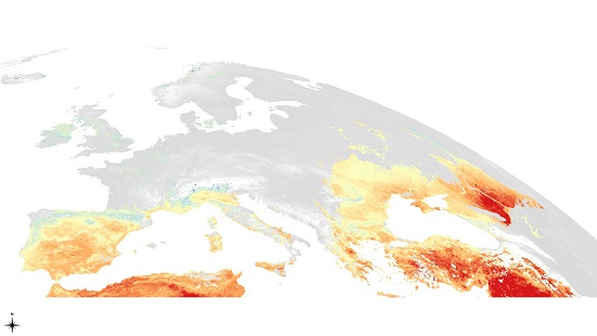
Geospatial products include Earth Observation operational services for real time retrieval of several physical parameters, Geographic Information System (GIS) analysis and advanced modelling. The products are based on state-of-the-art algorithms and include applications such as surface temperature mapping, forest fire simulation and mapping analysis tools.

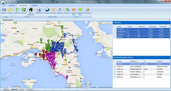
Routing Software has been developed to solve your planning challenges within seconds. Using actual orders and taking order-, customer- and vehicle-specific restrictions into account, it calculates your optimal routes. Calculations are based on order and vehicle data, customer information, vehicle costs as well as the work, driving and break times of your drivers. In addition, it delivers route plans that are tailored to your transport fleet or vehicle types and includes additional transportation data as well as distance travelled, cost and time information. Even better, you can adjust an already calculated route at any time to obtain a new mileage, cost and time calculation instantly. In short it provides a complete overview no matter how complex your route plans are.

Business products include business process reengineering and consulting for boosting your business. MetOpt has extended experience in software development in user friendly environment that integrates all aspects of business development from strategic design of shops location, ordering, shop distribution, production scheduling and reporting.

Fleet Tracking Software is a sophisticated multifeature platform combining the most advanced fleet tracking features with telematics. An elegant solution for the vast majority of the industry contains sophsticated features like real time vehicle location, geofencing, temperature and vehicle sensing data and trip planning among others.
